
For all the nature lovers and hikers, who love to get lost in the realms of different vegetation, topographic maps are an essential tool.
These maps are an indispensable tool for every traveler as it presents an excellent idea about a given place and the expected terrain and vegetation.
So, if you’re planning to explore an undiscovered part of our planet, your best bet would be to carry a topographic map along with you. But before that here is all you need to know about topographic maps, its features and who can use it how. Take a look:
What Is A Topographic Map?
Let’s begin with the most fundamental aspect. It is essential that you understand what a topographic map is and how you can read it to make full use of it. Quite simply, a topographic map is a two-dimensional representation of a three-dimensional terrain along with the vegetation that exists around a given place. To get a better idea, a topographic map lets you measure heights. Apart from that, it has all the features of any other map such as scale, legend and the north arrow.
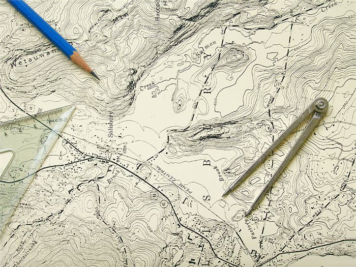
(Image Courtesy: Wonderopolis)
How To Use A Topographic Map?
Now that you know that you can determine the elevation of a place using this map, it brings us to another significant question: How? How does a two-dimensional piece of paper tell about a three-dimensional world? Well, a topographic map uses various elements for that. Here are a few of them:
Contour Lines
This is the defining feature of any topographic map. A contour line is a line that joins points of equal elevation on the map so that the reader knows the height that he is on. Contour lines never intersect each other as each line is dedicated to a particular elevation.
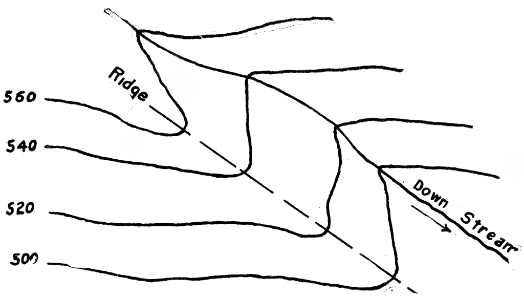
(Image Courtesy: USF)
Elevation Points
These are the points that pick out the elevation and gives the reader an idea of the terrain that is expected to come. Here is a pictorial representation of the elevation points:

(Image Courtesy: Ordnance Survey)
Colors
Colors play a major role in topographic maps. Here is what the major colors mean:
Red: This color denotes primary and secondary roads and other land areas that fall under the US Public Land Survey.
Black: This color denotes the manmade things at a given place along with other cultural features.
Blue: Quite understandably, blue denotes water bodies.
Brown: Contour lines and elevation numbers are indicated by the brown color.
Green: Similar to blue color, green denotes the presence of vegetation in a given stretch of land.
White: Used to denote places with no or little vegetation.
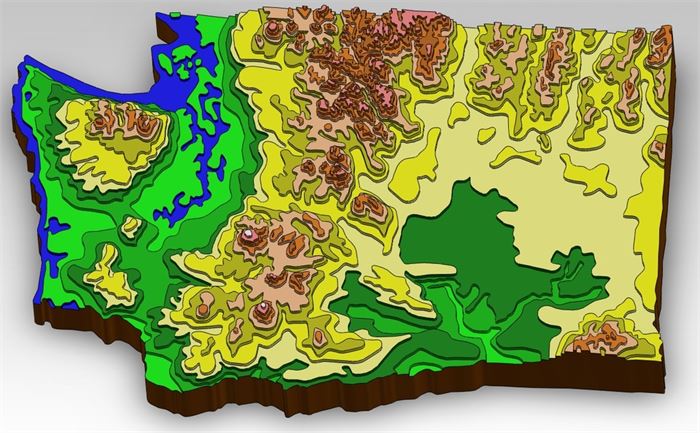
(Image Courtesy: GrabCAD)
Uses Of A Topographic Map
There are several uses of such a map. Here are a few of them:
Hiking
Hikers often encounter places with unfamiliar terrains. A topographical map is an essential tool for them.
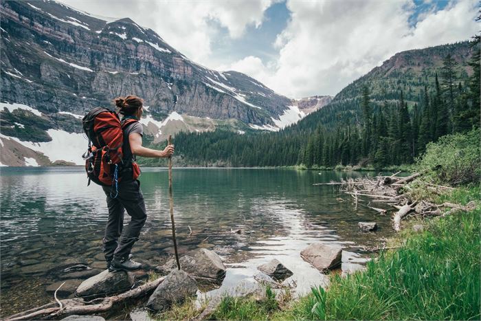
(Image Courtesy: Readers Digest)
Backcountry Backpacking
For backpackers, such a map is invaluable as they often explore previously undiscovered areas. A topographical map can give a fair idea of what to expect.
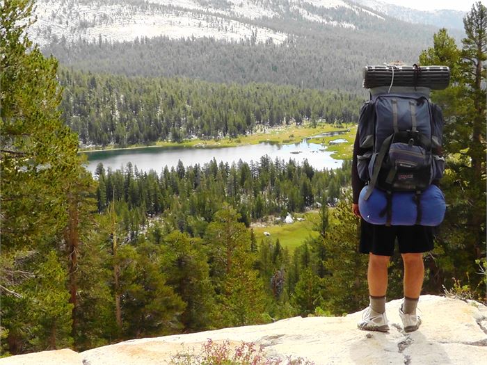
(Image Courtesy: HowToWilderness)
Skiing
Skiers can make use of a topographic map to know the density of snow that lies ahead of them. They can even know of the bushes that they might encounter.

(Image Courtesy: Mont Tremblant)
So, there you have it. Have you ever made use of a topographic map? If yes, let us know in the comments below.
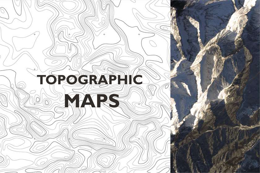
(Feature Image Courtesy: Creative Market)

10 Opinions

21 Opinions


